Last updated on June 24th, 2024 at 11:20 am
Applications of Remote Sensing in Agriculture includes the proceedings of the 48th Easter School in Agricultural Science, held at the University of Nottingham. It was attended by 146 delegates from 22 different countries. Nine of the contributing countries contributed papers to this book. In addition to being an excellent resource for agricultural scientists, the book also covers various data sources and their limitations. Read on for more information. This article summarizes the main applications of remote sensing in agriculture.
Applications of Remote Sensing in Agriculture
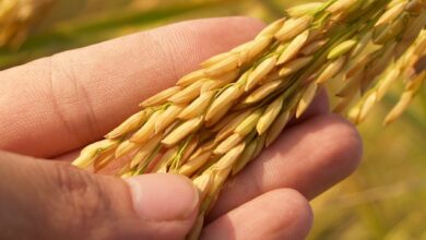
Remote sensing can be a useful tool in agricultural production. It can penetrate the surface of a farm to monitor crop progress and damage. It can even identify mysterious crops. Once data is gathered, it is often taken to laboratory for analysis and crop culture is studied. Ultimately, remote sensing for agriculture can help improve crop yields and reduce costs. To learn more about the benefits of remote sensing for agriculture, visit the application page.
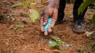
Its usefulness in agricultural production is well-known. Remote sensing technology can help identify the prevalence of pests and disease infestations. It can also provide data for determining pest control and fertilization methods. In agriculture, remote sensing is particularly helpful for estimating soil moisture, a key factor in determining which crop can grow in a certain soil type. This data is vital in the production of healthy crops.
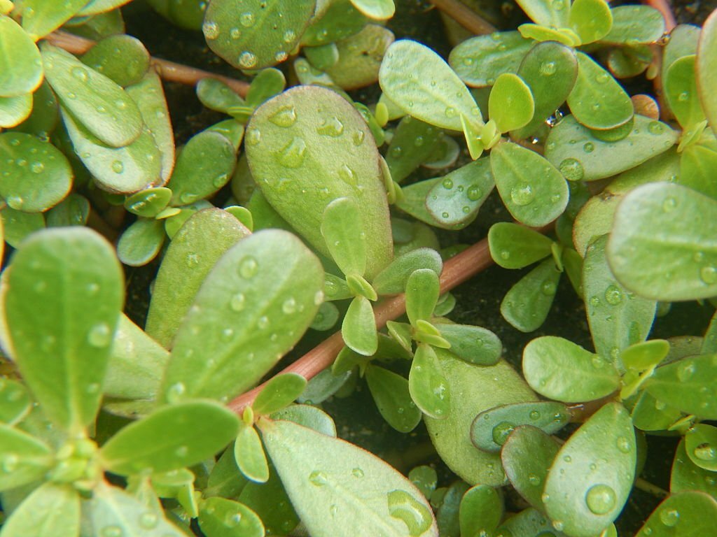
A common agricultural remote sensing model uses the normalized difference vegetation index (NDVI) and infrared sensors to determine whether a crop has been damaged. This model is highly reliable, and uses both infrared and Red-Edge sensors to detect damaged crops. In addition to identifying crop damage, the NDVI model also can assess the health of soil. If it contains too much salt substances, the crop needs a more nutrient-replacement system.
Remote sensing technology can also be used to assess the quality of crops. Remote sensing can provide accurate estimates of crop yield. It can track rainfall patterns and tell the time difference between current and future rain. It can also be used to detect weeds, crop stress, and disease. Remote sensing is an essential tool for crop management. It has revolutionized agriculture. It can help farmers make informed decisions about their crops and make the best use of resources.
Another important application of remote sensing for agriculture is in the area of flood mapping. Flood mapping combines remote sensing with field surveys. Its results can help mitigate flood disasters and identify potential obstacles to development. It provides accurate representation of land use and usable area. As a result, remote sensing for agriculture can have a significant impact on the agricultural industry. It is not only helpful in agriculture, but is an important tool for natural disaster management.
Data sources used by remote sensing systems in agriculture
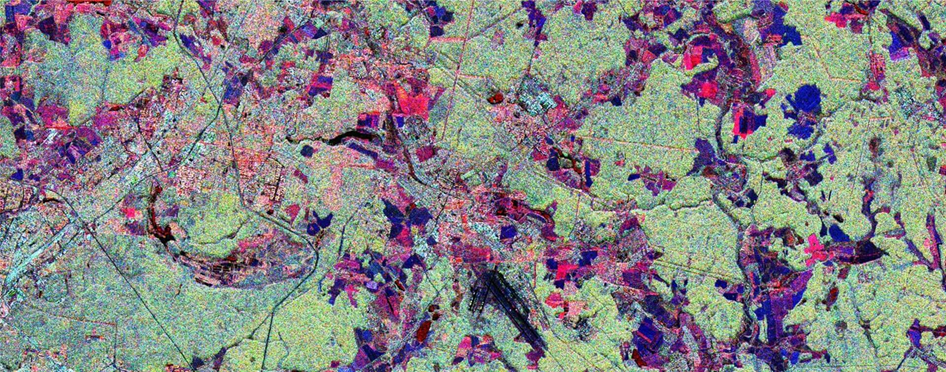
The use of remote sensing-based information for mapping agricultural systems can be of various types. In this paper, we discuss the roles of different remote sensing-based information for mapping agricultural systems. Land maps derived from satellite images are often used as indicators of agricultural systems, including cropping and farming systems. In the following sections, we discuss three examples of agricultural systems mapping that can be produced from satellite images. The first case study highlights the use of agroforestry in Bali. The second case study focuses on traditional rainfed agriculture in Mali, and thirdly, a review of recent publications on the topic.
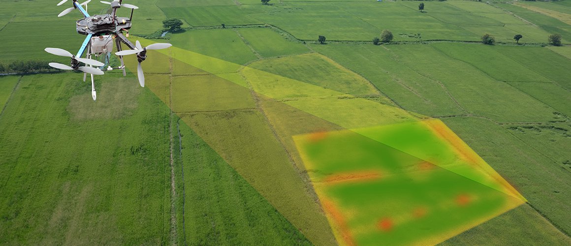
In addition to mapping crop growth, remote sensing systems are also used for crop monitoring. These systems can identify crop disease, weed infestation, and crop variability. Agricultural remote sensing data is essential for monitoring crops to determine their performance. This information helps farmers identify potential weed and pest problems before they damage crops. Furthermore, remote sensing systems can provide early warnings of crop failure, allowing them to implement remedial measures before they result in huge losses.
The use of remote sensing systems in agriculture produces large volumes of data. They require high spatial, spectral, radiometric, and temporal resolutions. Additionally, data availability is multidimensional. In order to make use of these data, EO systems integrate data from various sources to generate enhanced feature spaces. In addition, data fusion techniques are commonly used to combine the various data sources for agricultural monitoring. This information is then used for decision support.
Many researchers have studied the potential use of remote sensing to monitor agricultural productivity. Some of these studies, for example, studied the effects of climate change on agricultural productivity. Some researchers, such as F. Steiner, have used high resolution satellite images to determine carbon stock and biomass. These studies will also provide valuable information for agricultural policy. It is not surprising to learn that agriculture is becoming an increasingly important part of the world’s economy.
Farmers have adapted to the latest technology and data sources available to improve their yield. Optimal harvest health is critical to maximize yield. Agricultural remote sensing systems have made this task easier. It also supports precision growing by identifying prime grazing areas. And what’s more, farmers and ranchers can now use the information obtained to make decisions on how to increase their yields. But remote sensing systems aren’t limited to these types of applications.
Methods used to collect remote sensing data
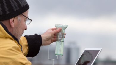
Remote sensing data in agriculture involves measuring the state of a field without touching it. This process can be as simple as a windshield survey taken at 55 mph. Early aerial photographs were taken in the 1930s and the Department of the Army organized a massive effort to collect these images. Aerial photographs were then adopted by the Agriculture Stabilization and Conservation Service and they began collecting indexed aerial photographs of landscapes for agricultural purposes. Agricultural data are still collected today with the help of remote sensing.
One of the most common applications of remote sensing in agriculture is crop acreage estimation. While this used to be an arduous manual process, remote sensing can help predict the quantity of crop that will be grown in a given farmland. This data can also be used to monitor crop damage and progress. By using the information gathered from remote sensing systems, agricultural professionals can determine whether a crop is in need of repair or replacement.
The wavelengths used in agricultural remote sensing applications cover a limited region of the electromagnetic spectrum. These wavelengths are measured in micrometers or nanometers. A single um is equal to 1,000 nm. The visible region of the electromagnetic spectrum ranges from 400 nm to 700 nm, which is associated with plant vigor. Moreover, remote sensing techniques use the existing maps and satellite images to make better predictions of crop health.
Modern sensing instruments are more sophisticated than traditional photographic film and can measure light, heat, and various wavelengths of the electromagnetic spectrum. They are cheaper, thanks to continued electronics miniaturization. Combined with GIS technology, these instruments have become highly valuable. With the use of GIS technology, the data collected from these instruments can be organized and analyzed to deliver actionable intelligence tailored to specific grower needs.
Remote sensing techniques are particularly useful for agricultural applications, since the landscape is heavily dependent on the sun for energy. The imagery gathered by these techniques acts as a permanent record of a landscape, allowing researchers to measure changes and predict future growth. Aerial imaging technology can also be used to improve agricultural surveys. So, if you are interested in using satellite imagery for your agriculture needs, consider remote sensing in your next crop management decision.
Limitations
While satellite RS data sources provide valuable information, the scales at which they are used to calculate yields and other parameters are limited. For example, satellite data use a small region of the electromagnetic spectrum, measured in nanometers (nm). A single um is the same as 1,000 nm. The visible region of the spectrum covers wavelengths from 400 to 700 nm, and green, which identifies plant vigor, has a wavelength near 500 nm.
The use of satellite-based water management data can enable decision makers to identify successful and unsuccessful interventions, and determine which ones are most effective and efficient. In SSA, satellite-based inputs can close the yield gap, strengthening food security for millions of people. These data sources are available free of charge and are fully openly accessible through the Copernicus program. However, they are limited by limited frequency of visits, which limits their use in monitoring phenological development.
RS data can be used to determine crop health and predict droughts. It can also be used for crop modeling. RS data also help farmers and ranchers identify prime grazing areas. This data can also be used to evaluate relative land values. Further, RS data can help them evaluate the relative worth of land for lending purposes. So, if you’re planning to use satellite data for agriculture, make sure to research the potential benefits and limitations of satellite-based data sources.
One of the biggest drawbacks of satellite data for agricultural use is the lack of a high-resolution image. Landsat 8 data, for example, is only moderately detailed. Because farm sizes in SSA are irregular, Landsat data may be limited to detecting marginal improvements in yields. And even though the data is useful for determining agricultural productivity, it is not yet accurate enough to measure the cost and benefits of irrigation and other interventions.
While satellite imagery is not entirely accurate, it is a very useful tool for agricultural research and mapping. Aerial SAR imagery can provide farmers with vital information on the size and shape of crops. In some cases, satellite images are used to map fields, and other data can be combined to create color composite images. This way, a single band image cannot show the full landscape. The images can be used for planning rescue missions, for example.
Writer: Muhammad Aamir Saleem, M.Sc (Hons.) Agronomy, 2011-ag-3066, University of Agriculture Faisalabad, Pakistan